BC Road Value Assessment
2018–26
BC Ministry of Forests · Coastal Engineering — sole developer
Provincial-scale DEM & road-network conflation in PostGIS, a bridge-asset “network-crawl” tool, and a forest-engineering dashboard modernised to SvelteKit / MapLibre vector tiles.
PostGISSvelteKitMapLibreNode.js
BC Telemetry Warehouse
2020–21
BC Ministry of Forests — via Quartech
Wildlife GPS-collar telemetry data warehouse: database endpoints, authentication, and React-Hooks state migration.
ReactVueLeafletPostGIS
BC Invasive Species (InvasivesBC)
2020–22
BC Ministry of Environment — via Quartech
Province-wide invasive-species tracking: field-data mobile app, admin portal, GeoJSON coastline processing, Metabase reporting.
ReactOpenLayersGeoServerPostGIS
BC LNG Portal
2019–20
BC Gov Exchange Lab — via Quartech
Public LNG-project tracking & engagement portal with document management and public mapping.
ReactLeafletNode.jsOpenShift
Northeast Restoration Tracker
2024
BC Ministry of Environment — via Quartech
Environmental-restoration tracking: search API, MapLibre performance tuning, React-Hooks render optimisation.
ReactMapLibreTypeScriptNode.js
Mines Digital Trust
2022–23
BC Energy & Mines · Exchange Lab — via Quartech
Digital-trust & compliance platform for the BC mining sector — WebRTC feature work, REST API enhancements, knowledge transfer.
ReactVueWebRTCOpenShift
GlobalMaps — Telecom Planning
2019–now
Research ICT Solutions · 6 African nations
Telecom-infrastructure planning across South Sudan, Namibia, Malawi, Uganda, Ethiopia & Kenya — radio-propagation dashboards, MapLibre 3D terrain, and viewshed in Rust / WASM.
SvelteKitMapLibreRust/WASMPostGIS
VSLS & MoTI Corporate Spatial Web
2012–21
BC Ministry of Transportation & Infrastructure
Real-time highway variable-speed-sign API (WebSocket, HA-clustered) and long-running DriveBC / corporate spatial-web maintenance; replaced a licensed mapping framework with open source.
Node.jsOpenLayersGeoServerOracle
New Zealand Spatial Platforms
2010–24
Lat37 Ltd. / Keewai — private sector
Commercial spatial apps: Catch Analyst lobster-fishery monitoring (millions of records), a Manuka-honey hive-management tool with real-time field data, and an offline-capable crayfish field-data PWA.
Node.jsPostGISAWSD3
Skywatch — Interactive Viewshed
R&D
Little Earth — browser-native 3D line-of-sight
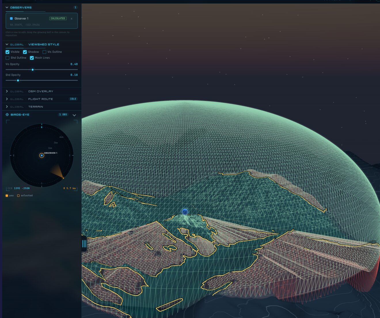
WebGL terrain viewshed engine (Three.js + Rust/WASM). The technical showpiece — see the featured section above.
Three.jsWebGLRust/WASMDEM